
Source: I work in meteorology.
The reason for the Ventusky big red blob of UFO going into the water is a model error by the DWD – Ventusky said that themselves on twitter, but as a firm UAP/ NHI/ UFO believer I decided I just don’t trust them enough on this one so I decided to check for myself.
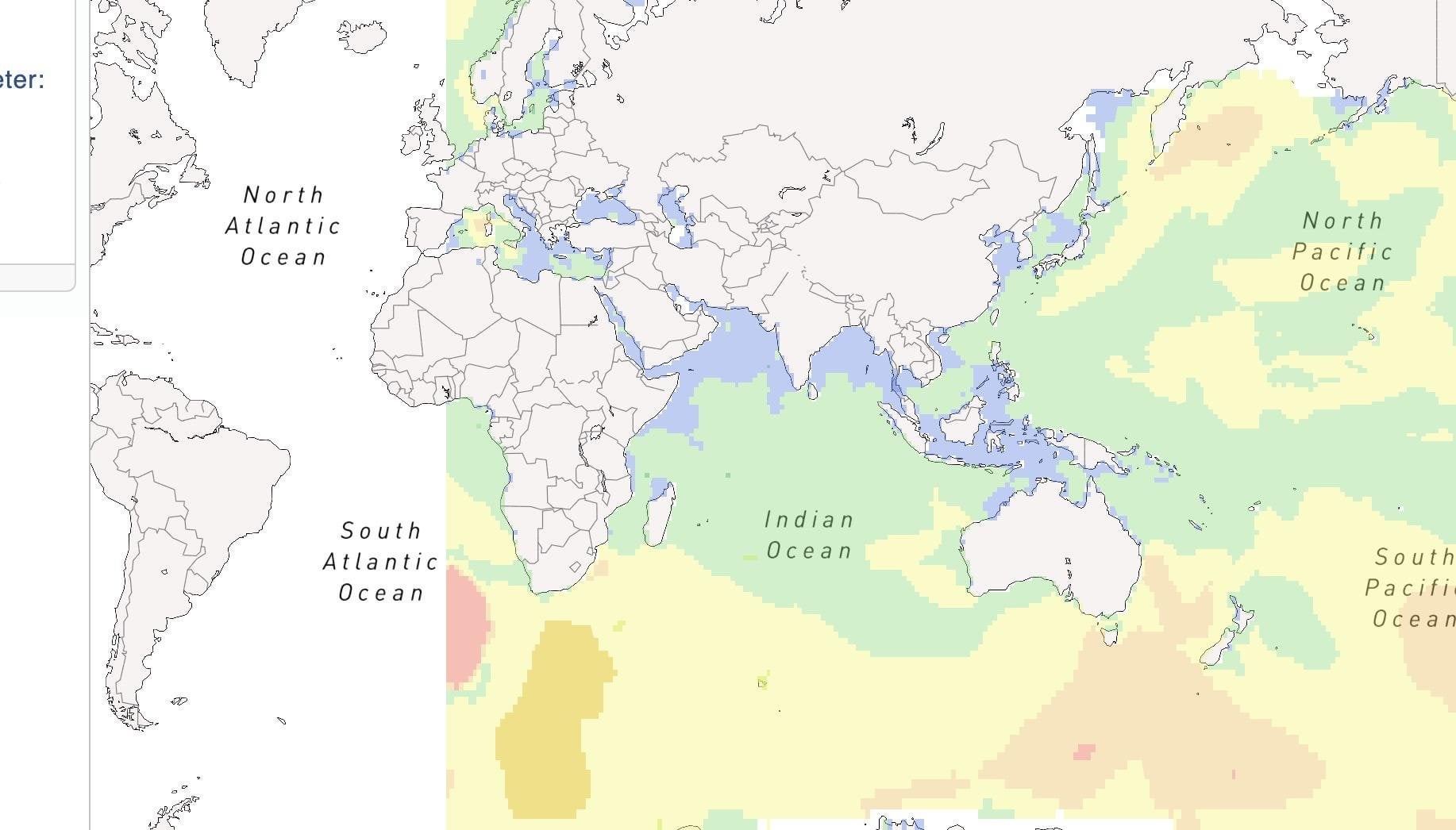
First off, the DWD is the German meteorology service. They make weather forecasts using models like ICON. While ICON is mostly used for weather forecasts and not ocean wave forecasting, a forecast based on ICON is made for different ocean wave parameters. Simple google search leads us to [this](https://www.dwd.de/DE/leistungen/opendata/help/modelle/legend_ICON_wave_EN_pdf.pdf?__blob=publicationFile&v=3) relatively outdated but still working document on their ocean wave models.
From it, a couple of things to lead us to further research stand out – first, their global model is called GWAM. Second, the data is open (as in free beer) under and available for everyone to access under https://opendata.dwd.de/weather/maritime/wave_models/. Third, we aren’t interested in the wind data, we’re interested in the wave height, so I went with the first partition, total wave spectrum. That means we need the forecast for parameter SWH for April the 10th, when this occured.
Going to the wave_models webpage it’s relatively easy to find that parameter -https://opendata.dwd.de/weather/maritime/wave_models/gwam/grib/12/swh/. I went with the first forecast available from April the 10th, for hour 00, which is about as close as we can get to the anomaly, so this one https://opendata.dwd.de/weather/maritime/wave_models/gwam/grib/12/swh/GWAM_SWH_2024041012_000.grib2.bz2.
Now the available data is in the grib2 format, which is a very well known weather forecast format. For ease, I used https://www.online-grib-viewer.com/chart to view the downloaded file, and wouldn’t you know it, we have our [anomaly](https://imgur.com/a/coOfRwP)!.
What this shows is indeed this was information ventusky took from a weather model that shows a forecast for a certain time ahead (up to multiple days ahead), which model takes wind parameters from the ICON model to create its forecast, specifically the 10-m wind parametre. This model doesn’t have the ability to predict something major hitting the water, nor something major coming out of the water, because it doesn’t look for such things. This is the way weather models that don’t assimilate data behave as well, which means that if a nuke goes off over a country and blocks the sun leading to freezing temperatures, models would still show a 25 degree sunny forecast.
Anyway, this was a fun little thing to do and I’m not a UFO/ NHI/ UAP sceptic, but I feel like this is crucial information to know to be able to rule out the false from the truth.
by worthyducky
1 Comment
Anyone should know that, not like this was the first time weather radar showed something crazy because of a glitch and people assume it’s a UFO. But people have to make us look bad by acting like all of us “UFO nuts” think it’s a 500 mile wide UFO that nobody is noticing except one weather station.